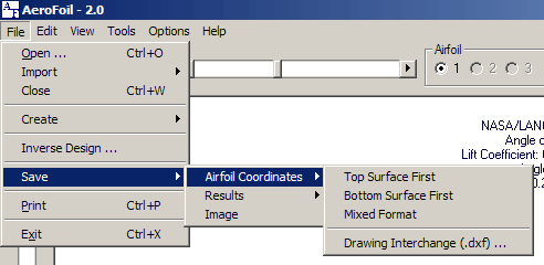
Airfoil coordinate data may be saved in one of four formats:
Top surface first: The first line contains an airfoil name/description. Subsequent lines contain the x and y coordinate pairs. The coordinates begin at the trailing edge of the airfoil, continue along the top surface, and terminate at the trailing edge. Example
Bottom surface first: The first line contains an airfoil name/description. Subsequent lines contain the x and y coordinate pairs. The coordinates begin at the trailing edge of the airfoil, continue along the bottom surface, and terminate at the trailing edge.
Mixed format: The first line contains an airfoil name/description. The second line contains the number of coordinate points that describe the top surface and the bottom surface. The third line is blank. Coordinate data pairs then follow. The top surface is given first, followed by the bottom surface. The surface coordinates begin at the leading edge and continue to the trailing edge. A blank line separates the top surface coordinates from those of the bottom. Example
Drawing Interchange Format (.dxf) Airfoil coordinates may be saved in the .dxf format and imported into a variety of graphical and design software packages.